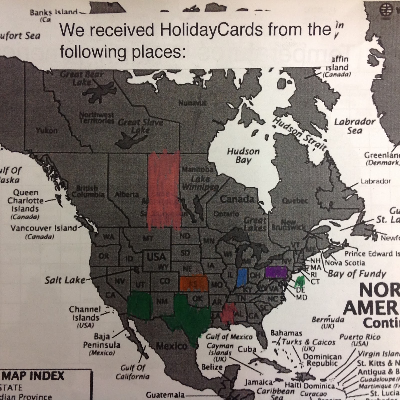
Wow! There is a lot of great learning and discussion that has come out of our participation in the Holiday Card exchange. The cards started rolling in last week. For each card we open, the students have to find and colour the State/Province that it came from on a map of North America. Next, we discuss/graph the average December temperature of each spot. (Each student is making their own map/graph and we are also posting a map/graph in the class). After opening a few cards, the students have become very good at predicting the temperature of a place based on its location in relationship to other places that they already know the temperature of. (Example: they knew that Missouri and Kansas would have similar temperatures since they are right beside each other but that it would likely be much colder in Saskatchewan because it is farther North). We have also been practicing our 'mental math' as we add together the number of boys and girls in each of the classes that send us cards.
When we left for the holidays, we had 11 cards opened. We now have a bunch waiting for us when we get back in January. I can't wait to open the rest of our cards to see where they have come from!